West Bank North
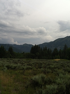
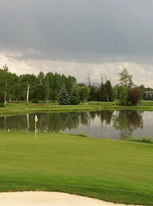
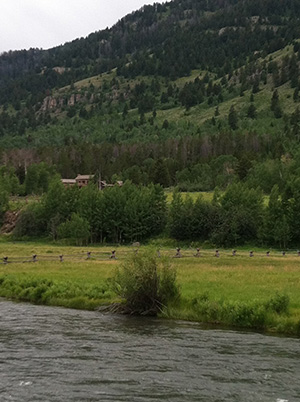
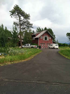
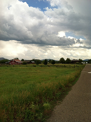
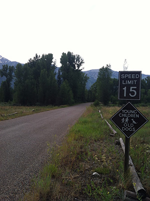
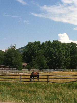
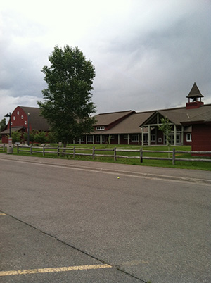
The area west of the Snake River is locally referred to as the “West Bank,” with Wyoming State Highway 22 providing the approximate demarcation between the northern and southern portions of this area. The northern half of this area begins approximately at the unincorporated town of Wilson, Wyoming and extends northward until reaching the southern boundary of Grand Teton National park (wrapping around Teton Village and the Jackson Hole Mountain Resort – which is its own area of special consideration). The central vehicular access to this area is provided by Wyoming Secondary Road 390, known locally and interchangeably as the Moose-Wilson Road or the Village Road (in reference to its being the access to Teton Village, the home of the Jackson Hole Ski Area). With its proximity to the Jackson Hole Mountain Resort and Grand Teton National park, the draw of this area to recreational enthusiasts is clear, and this is only further enhanced by this area encompassing Teton Pines, a resort development centered around an Arnold Palmer-designed golf course that has been integrated with the local environs to the point of being designated Certified Audubon Cooperative Sanctuary. The tennis enthusiast will enjoy Teton Pines year round playing facilities, the only in existence in the valley.
Explore West Bank North
- Wilson Proper
- H-H-R - Stilson
- Nethercott South
- Fish Creek Road
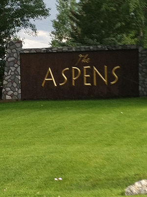
- Aspens
- Teton Pines - Willowbrook
- Lake Creek - Kennel Lane
- Moderately Priced West Bank North
- East of village road
Click on an area name to learn more about it.
Learn More
