West Bank South
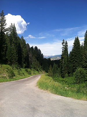
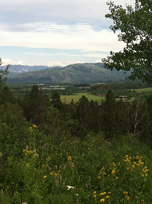
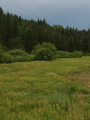
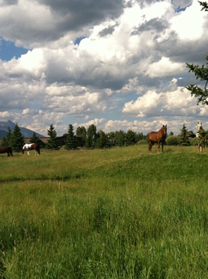
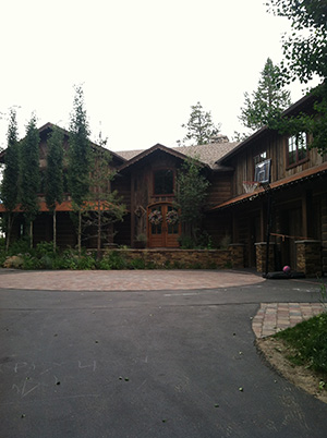
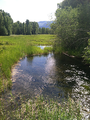
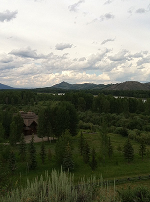
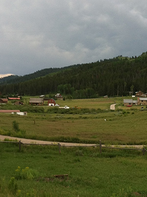
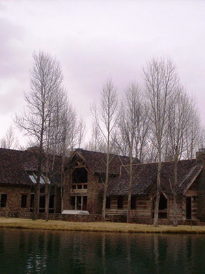
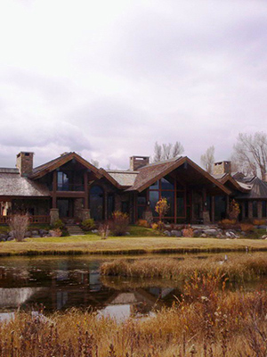
Leaving the town of Jackson and heading west, a little more than three miles of travel has you crossing to the west side of the Snake River into the “West Bank” market area. Continuing in this direction for another 1.5 miles, you will be in the middle of the unincorporated town of Wilson as recognized by such landmarks as the Wilson Elementary School, Nora’s Fish Creek Inn and the “World Famous” Stagecoach Bar. Taking a left before ascending Teton Pass, the “West Bank South” market area extends from this point to where the southern extremity of Teton County meets the Bridger Teton National Forest. The “West Bank South” is bisected by Fall Creek Road, which provides the primary access / egress route to the area. Between this road and the Snake River lies spring-creek-crossed meadows (think fishing) and riparian-bordering land that is home to many of Teton County’s exceptional homes. Properties on the West Side of Fall Creek Road benefits from the quick elevation gain as the meadows of the east side rise to become the foothills of the Teton Range. Privately held land extends approximately a mile west of Fall Creek Road before becoming the Bridger Teton National Forest, which is simultaneously a 3.4 million acre buffer between you and your nearest neighbor, and a backcountry skier / outdoor recreationalists playground. Undeveloped holdings of the Snake River Ranch dominate the southern portions of the “West Bank South” area, providing scenic amenity enjoyed by all.
Explore West Bank South
- Pine Meadow - Teal Trace
- Green Lane to North Fall Creek
- Schofield Patent - River Hollow
- Teton Pass to Indian Paintbrush
- Crescent H Homesites
- Rivermeadows
- Hidden Hills Ranches - Higland Park Estates
- Red Top
- Southern River Frontage and Large Tract Residentia
Click on an area name to learn more about it.
Learn More
